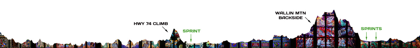
This 48-mile eastside route includes two climbs and lots of rollers, as well as three city limit sprint signs.
The ride leaves town headed east along Wyman Road and then to Goshen before tackling the infamous Goshen Tuttle rollers, which are made even more tough when there’s a south wind blowing. Once at Highway 74, turn right and prepare for the first of two climbs.
The Highway 74 climb is a little over a half mile with an average gradient of about 6.5% with pitches of up to 9.5% in some spots. After a quick descent, prepare for the Elkins city limit sprint sign at the bridge over the White River.
Turn right at Highway 16 for a quarter mile and then left at Stokenbury Road (optional gas station stop here). Follow the route to Black Oak Road and turn left toward Sulphur City.
Head south at Sulphur City and then stay right onto Trace Branch Road for the 3-mile trek up the back side of Wallin Mountain. The first two-thirds of the journey is a mix of false flats and some 2% bumps, but the last third is a doozy, and averages 7% with a max gradient of 15%. From there it’s a rolling descent back down the front side of the mountain to old Highway 71.
The ride finishes up with back-to-back city limit sprint signs at Greenland and Fayetteville.
Green Sprint Signs:
Mile 21.9 – Hwy 74 – Elkins city limit
Mile 41.7 – Hwy 71 – Greenland city limit
Mile 43 – Hwy 71 – Fayetteville city limit
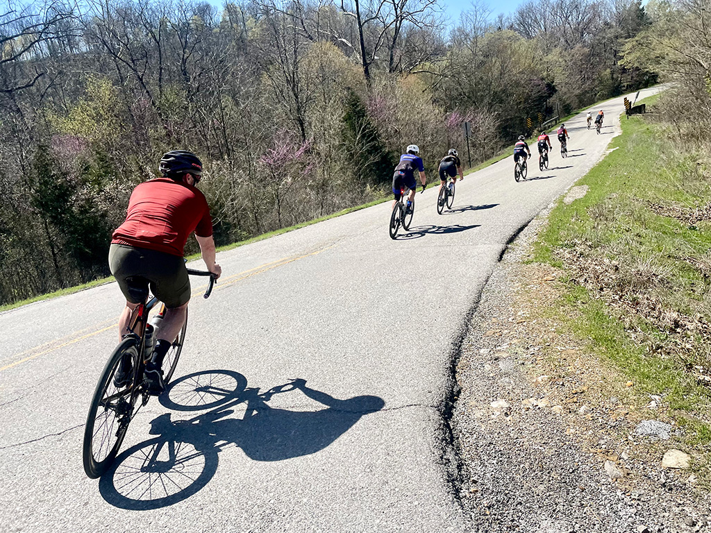
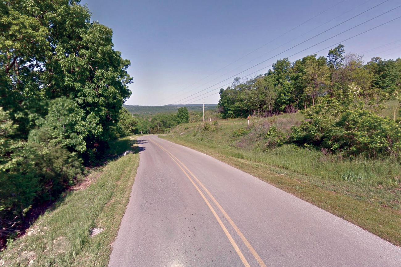
Ride Photos