
This 44-mile southside route is essentially the classic Black Oak loop, but instead of riding all the way back into town on Highway 71, the route turns west over the old “green” bridge and heads north through West Fork along the Lost Loop rollers before coming back into town on Highway 265.
There are two big climbs in the first half of the ride and four city limit sprint signs in the second half.
There’s an optional water stop with restrooms at Brentwood Park at about mile 25.
Green Sprint Signs:
Mile 23.8 – Hwy 71 – Brentwood city limit
Mile 29.4 – McKnight Avenue – West Fork city limit
Mile 37.5 – Campbell Road – Greenland city limit
Mile 40 – Hwy 265 – Fayetteville city limit
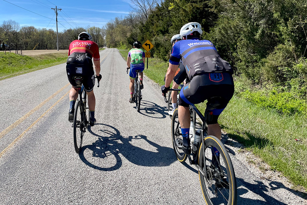
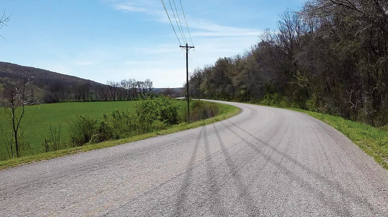
Ride Photos